Kingdom
Casablanca-Settat: A new agricultural map will soon protect high-potential land
The region will be equipped with a Geographic Information System allowing the monitoring of agricultural land and the classification of agricultural land to be protected. This will be done by classifying agricultural land into three categories.

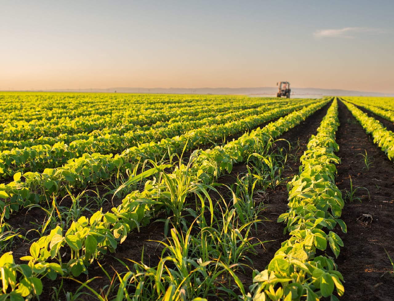
The Agriculture Department of the Casablanca-Settat region has just launched an international open call for tenders for the development of the regional agricultural map. The cost of the services is estimated at more than 3 million dirhams, and the bid opening date is September 22, 2026.
That said, it should be clarified that the Agriculture Department at the regional level attaches particular importance to protecting agricultural land from urbanization in general and from uncontrolled urbanization in particular.
Indeed, the loss of agricultural land has become a matter of concern and risks worsening in the absence of monitoring mechanisms and decision-support tools through which the aforementioned department’s services are expected to play an active role, particularly by participating in local technical committees responsible for reviewing urban planning documents (SDAU, PA, PDAR, etc.).
The Casablanca-Settat region, which covers an area of 20,394 km² and has 7.6 million inhabitants, has 1.2 million hectares of useful agricultural land, representing 62% of the total area, including 146,436 hectares of irrigated land.
The study’s objectives
The study will concern the Casablanca-Settat region, which is experiencing strong pressure on high-potential agricultural land and the large-scale projects it hosts, as well as fairly comprehensive coverage of the basic data required for the development of the planned regional agricultural map.
Among the main objectives of the study are the inventory and analysis of existing data, procedures and information systems.
The service provider will also have to complete the missing data in order to establish a dashboard for monitoring the condition of agricultural land at the regional level, based on surface and activity indicators.
It will also be responsible for developing and implementing a Geographic Information System allowing the monitoring of agricultural land and the classification of agricultural land to be protected. This will be done by classifying agricultural land into three categories, thereby helping guide development decisions: land with high agricultural potential or Agricultural Protection Zone, land with medium agricultural potential or Safeguarding Zone, and land with low agricultural potential or Zone to Be Urbanized.
Finally, it is important to specify that the overall execution period of the contract is 15 months.