Kingdom
Forest fires: Greater Rabat at the top of areas at extreme risk
The National Agency for Water and Forests has just published its risk map for the period from 26 to 29 May. The highest level of risk, classified as extreme, concerns the provinces of Kénitra, Khémisset, Rabat, Salé and Skhirate-Témara.

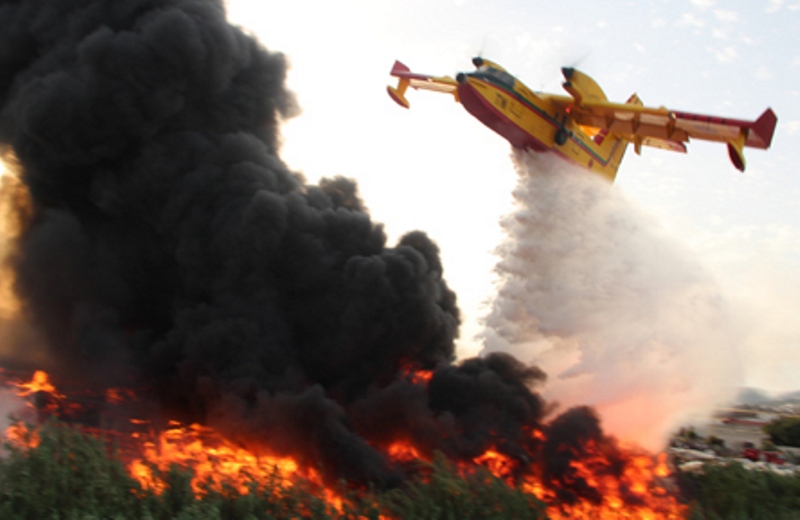
The National Agency for Water and Forests (ANEF) has published a detailed map of forest fire risk areas for the period from 26 to 29 May. Based on scientific predictive models, it relies on the analysis of forest types, their levels of combustibility and flammability, as well as topo-climatic parameters.
The document precisely identifies levels of danger across the entire national territory. The highest level of risk, classified as extreme, concerns the provinces of Kénitra, Khémisset, Rabat, Salé and Skhirate-Témara.
A high risk is reported in the provinces of Chefchaouen, Fahs-Anjra, Tangier-Assilah, Ifrane, Taounate, Essaouira and Agadir-Ida-Ou-Tanane. The provinces of Larache, Ouezzane, Tétouan, M’Diq-Fnideq and Taza are, for their part, classified as medium risk.
In response to this situation, ANEF is calling for collective mobilisation. It urges residents near forests, holidaymakers, visitors and those working in forest environments to remain vigilant and take all necessary precautions to prevent the outbreak of fires. The Agency also asks citizens to immediately report to local authorities any sign of smoke or suspicious behaviour observed near forest areas.